Combining OS Maps with Market Research for UK Property Analysis
To know the worth and potential of land or buildings, it is not enough to see what is on the surface. Combining mapping information with market intelligence enables investors and planners to develop a rich profile of property performance and potential. Geographical accuracy is introduced into the equation through tools like OS MasterMap for CAD, which enables the physical features to be overlaid with demographic, financial, and commercial information. This stratified method offers a more precise prism through which to observe the property market in the UK.
The Importance of Geographic Context
Each property is embedded in a wider landscape. Accessibility and desirability are affected by roads, transport hubs, green spaces, and utilities. Mapping software makes these features stand out, allowing analysts to assess the impact the surrounding infrastructure can have on the rental yields, sales potential, or long-term growth. This contextual information, when combined with market research, makes it clear whether the location of a property has competitive advantages or secret disadvantages.
Integrating Demographic Data
Household income levels, population density, and lifestyle statistics are usually part of market research. When mapped directly on maps, these details show patterns of demand in certain neighbourhoods. As an example, regions with younger populations might encourage rental housing, whereas more mature communities may prefer owner-occupied homes. The combination of mapping images and census data can help to identify the right projects in the appropriate locations faster.
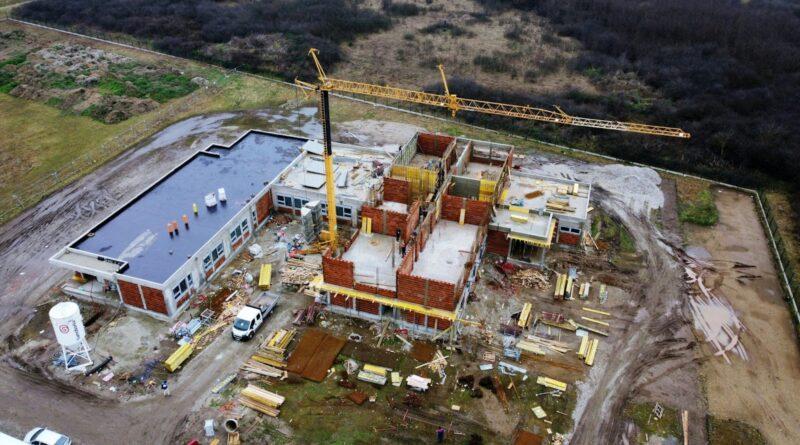
Evaluating Commercial Potential
Residential assessment is not the only area where mapping software can provide assistance. Location is important in retail, office and industrial projects. The ability to visualise closeness to consumer centres, employment centres, or distribution centres can be used to predict business viability. Traffic flow statistics, together with the mapped road networks, can help highlight where commercial sites may thrive and where the demand may be too low.
Assessing Land Use and Boundaries
The rights of way, property boundaries, and land classifications are important elements in the development decisions. These are identified accurately by digital mapping datasets, which minimises the possibility of controversy or misunderstanding. This is then supplemented by market research that indicates the demand for specific land uses, e.g. residential as opposed to mixed-use development. Proper mapping and demand forecasting will make sure that there are minimal surprises when planning commences.
Identifying Risk Factors
Flood zones, steep terrain or conservation areas are environmental considerations that can make or break a project. When such data is overlaid on detailed maps, it warns decision-makers of possible difficulties before they occur. Market research brings in a third dimension by suggesting whether such risks will be acceptable to buyers or tenants, or whether there are other locations that can provide higher returns with less resistance.
Enhancing Visual Communication
Maps are also great visual aids to present findings to stakeholders. Mapping layers provide clarity to complex information as opposed to using only spreadsheets or written reports. Decision-making is more open and informed as investors, planners, and community representatives can get a quick overview of how market trends match with physical locations.
The Role of Technology
The development of mapping software and data analysis has made integration much smoother. The use of GIS platforms and CAD-compatible datasets enables the analyst to combine OS maps with property intelligence in a short period. An example is OS MasterMap CAD, which offers very detailed topographic information that fits into current workflows, with exact scaling and compatibility with architectural or engineering drawings. Such a combination of geographic and commercial expertise results in more assured planning and investment decisions.
Supporting Long-Term Strategy
Property analysis is not only about short-term possibilities. Trends change over years, even decades, and mapping, along with research, can help predict the changes. Layered analysis of transport improvements, regeneration projects or demographic changes can identify areas that are set to grow in the future before the demand becomes too high.
A Fuller Picture of Property Potential
The integration of OS mapping datasets and market research converts raw data into actionable knowledge. Geographic accuracy highlights physical opportunities and constraints, and market intelligence provides clarity to demand and value. Combined, they create an all-encompassing method of property analysis that minimises risk, improves decision-making, and improves long-term strategy. For those interested in learning about the UK property market comprehensively, combining mapping with market intelligence ensures that no important aspect is overlooked.